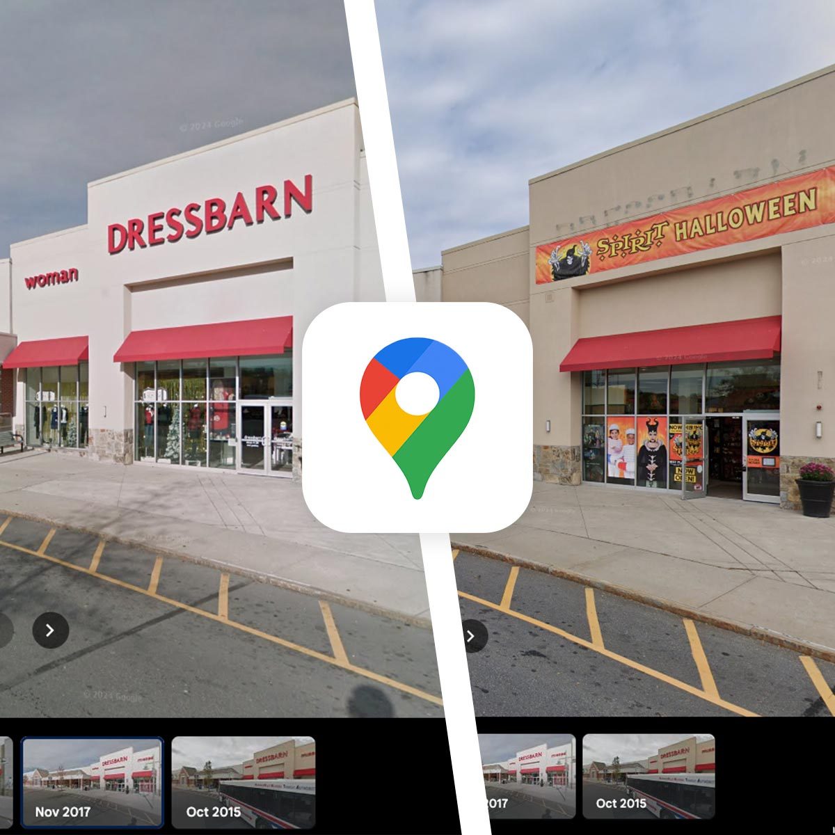
Go on a digital nostalgic journey through Google Maps!

Here’s How To Look Up Old Photos on Google Maps

If you’ve lived in one place for ages, it can be mind-bending how much your local strip mall has changed over the years. I can’t drive by my local Stop & Shop without commenting that it used to be a Borders way back when mega bookstores other than Barnes & Noble were a thing. That nostalgia is tenfold when you drive by your childhood home and notice that the new owners have put up a fence or cut down that tree you and your siblings used to play under. Well, did you know you can recreate these journeys through the past digitally on Google Maps?
It might come as news to many that Google Maps keeps all the past photos of locations through the Street View feature, and users can look through them. For some locations (the ones that haven’t been blurred out), you can find photos going all the way back to 2007! Ahead, learn how to look at the historical photos of your childhood home, local strip mall, and more!
How To Look Up Old Photos On Google Maps On Android or iOS


- Open the Google Maps app.
- Tap the layers icon at the top right corner of the screen, and tap the “Street View” option to activate it. Then, click the “X” at the top right to close the “Layers” panel.
- Once activated, blue lines should appear over the roads in Google Maps (this indicates that Street View photos are available).
- Now, navigate to the address for which you’d like to view old photos.
- Click anywhere on a blue line on the map near the location.
- When the location’s Street View appears, click the blue “See more dates >” link at the bottom of the screen.
- Now, you can scroll through Google Maps’ carousel of archive photos for that location and click the year you’d like to view.
How To Look Up Old Photos On Google Maps On Desktop
- Go to the Google Maps website.
- Click the layers options box in the bottom left of the screen, then click “More,” and then click the “Street View” option to activate it. Click anywhere outside of the layers panel to close it.
- Once activated, blue lines should appear over the roads in Google Maps (this indicates that Street View photos are available).
- Now, navigate to the address for which you’d like to view old photos.
- Click anywhere on a blue line on the map near the location.
- When the location’s Street View appears, click the blue “See more dates >” link at the top left of the screen.
- Now, you can scroll through Google Maps’ carousel of archive photos for that location and click the year you’d like to view.


